


Building a better planet with GeoCarb and other Lockheed Martin innovations
Earth Day celebrations came to a close over the weekend, but at Lockheed Martin, we remain focused on protecting our planet year-round. As addressing the climate crisis becomes increasingly urgent — and a national priority under the new administration — we've set our sights on new products and technologies to help mitigate and monitor climate change, provide early warning to protect human lives and increase safety for our troops and allies.
We're working every day to reduce carbon emissions, waste, energy and water use. Our Go Green Commitment to environmental sustainability is matched by the products and technologies we invent and build.
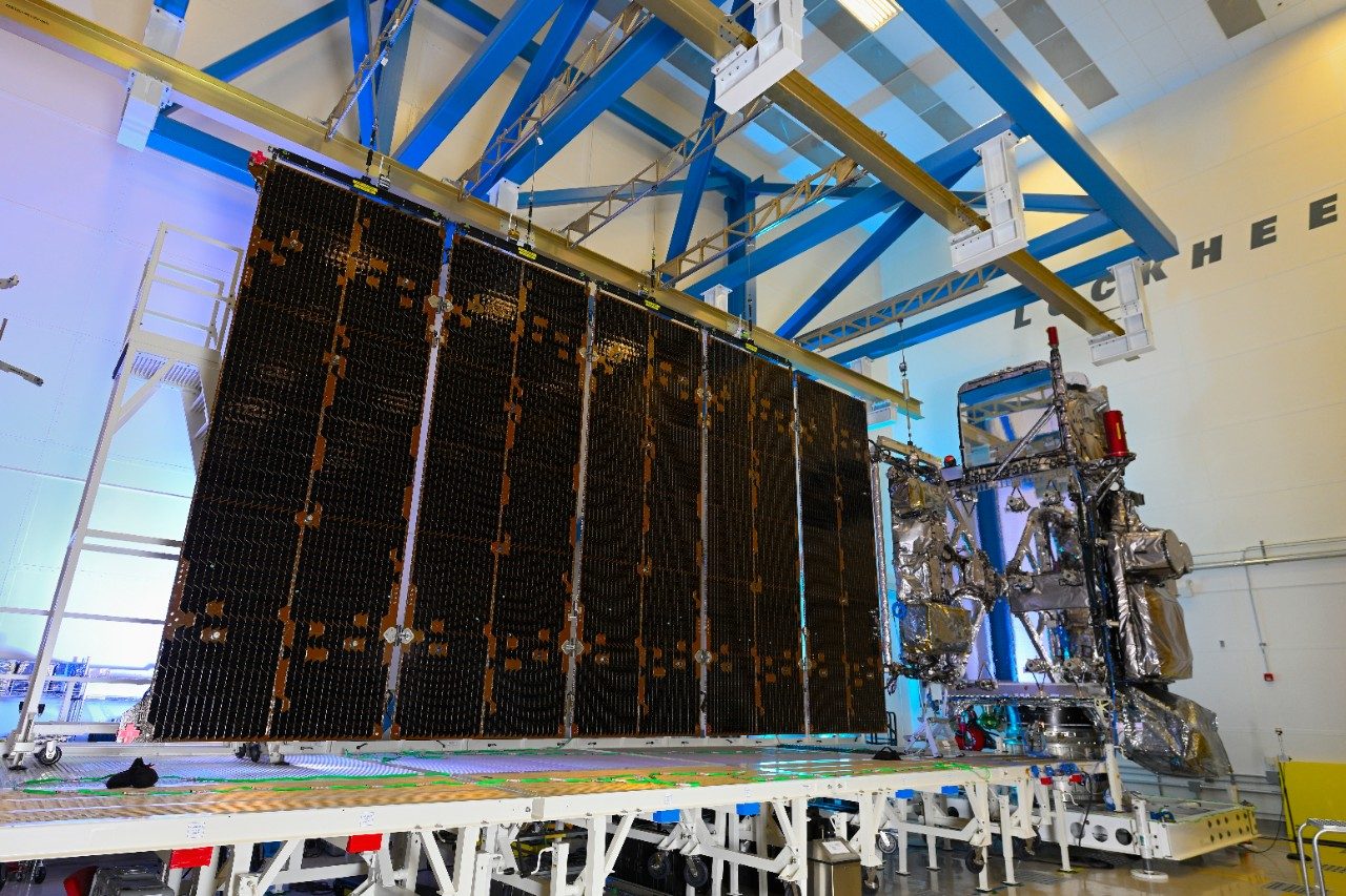
Our weather and climate legacy dates back 60 years to TIROS-1, the world’s first weather satellite. Since then, we’ve built more than 120 weather and Earth observation satellites — including the recently launched GOES-16 (covering the East Coast) and GOES-17 (covering the West Coast) — with the next in the series (GOES-T) set to launch this December. Continuous weather observations over the last 60+ years is the world’s longest space-based climate record.
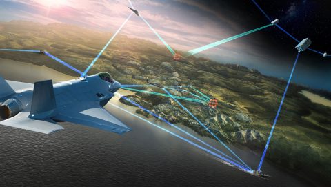
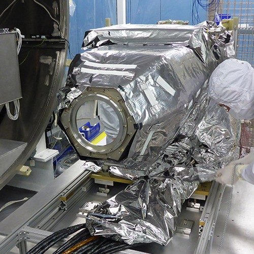
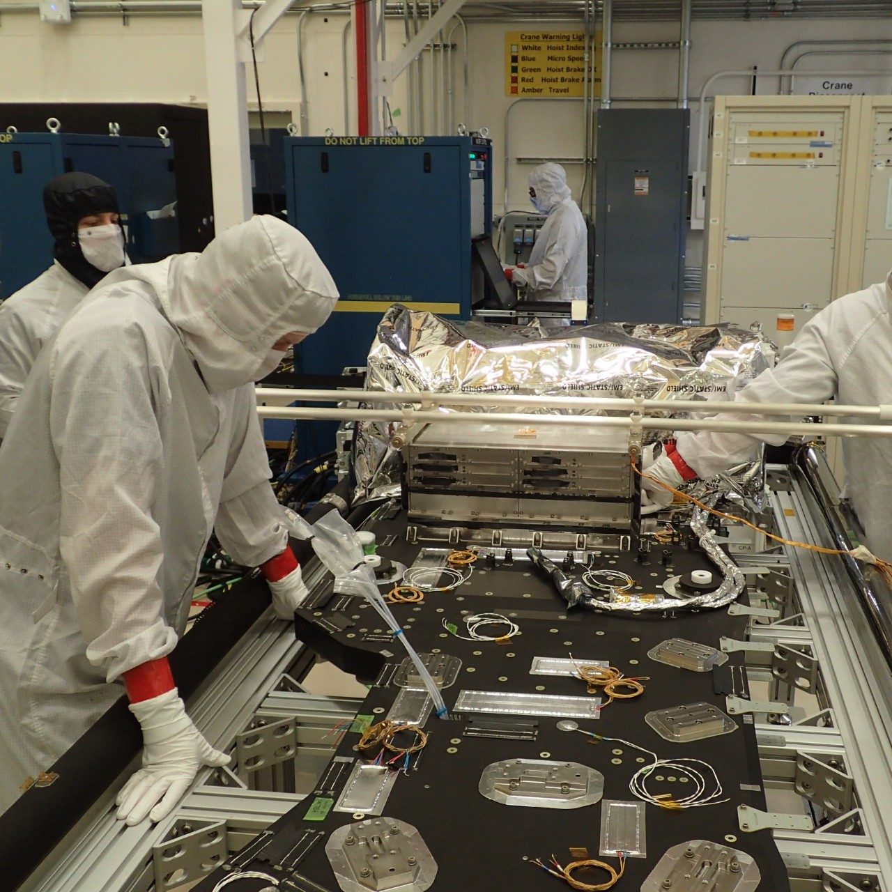
We're also working on a better way to monitor our planet's health using a first-of-its-kind Earth observation mission called the Geostationary Carbon Cycle Observatory (GeoCarb). GeoCarb — which is a collaboration between NASA, Lockheed Martin and the University of Oklahoma — will study in unprecedented detail how the Earth breathes. It will observe how the carbon cycle is changing and monitor plant health in the Americas with millions of daily observations.
GeoCarb is an instrument optimized to deduce concentrations of carbon dioxide, methane, and carbon monoxide, as well as solar-induced fluorescence (SIF), a measure of plant health, from geostationary orbit. This orbital placement enables it to make more observations of the same area over a period of time, so scientists can better spot emerging carbon patterns.
But how exactly will all these observations help us figure out how to preserve our planet? They will:
- Track carbon sources and sinks including carbon monoxide from wildfires so scientists can identify additional avenues for observations and research
- Gauge health of important ecosystems by measuring solar-induced fluorescence
- Identify methane sources near Earth’s surface, providing useful insights to the energy industry
- Promote proactive global food supply chain planning among farmers and agriculturalists
- Enable informed decisions by global leaders addressing climate change and
- Provide daily coverage to assess magnitude and variance of forest carbon sinks, a key factor in understanding humanity's contribution to Earth's carbon balance.
While the initial GeoCarb payload will be hosted on a forthcoming future spacecraft, interested parties or countries have the option to learn more about this technology for their own potential climate-monitoring needs. Check out our GeoCarb fact sheet for more information.
GeoCarb is just one example of how Lockheed Martin is committed to building a better life here on Earth. Read on for more innovative Lockheed Martin products and technologies committed to doing just that:
GOES-R
Geostationary Lightning Mapper (GLM)
Solar Ultraviolet Imager (SUVI)
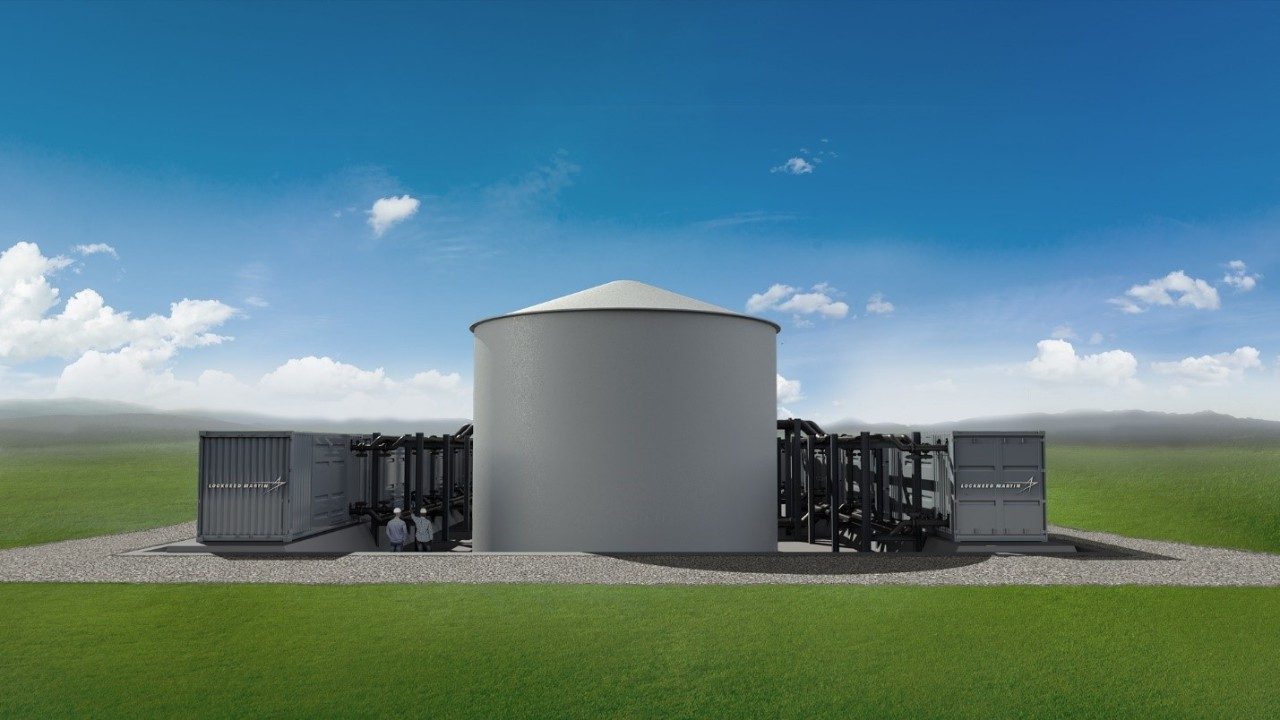
GridStar® Flow
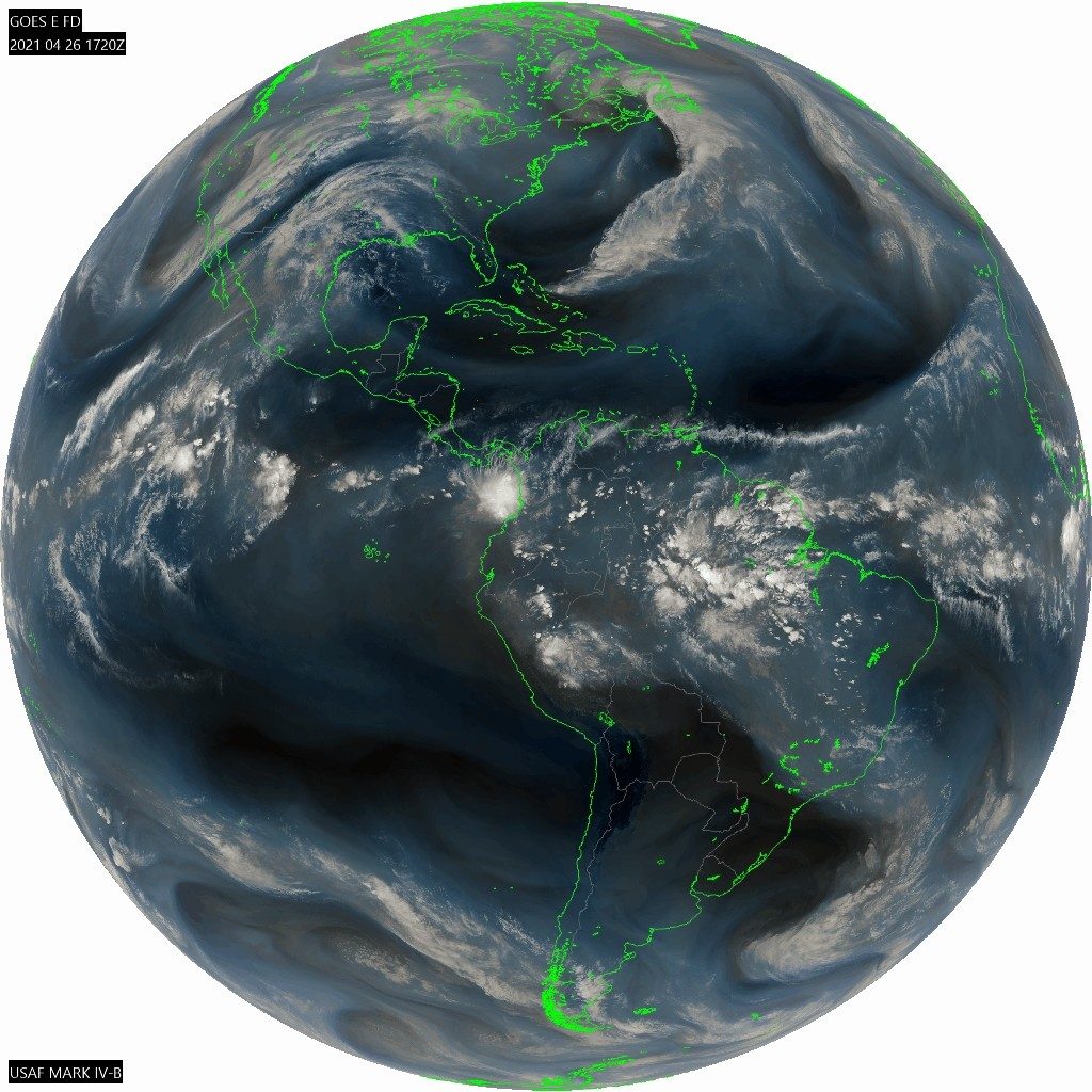
MARK IV-B
Oceans Melting Greenland (OMG)

FIREHAWK Helicopter

Flying Firetrucks
The C-130 has long-operated as an aerial tanker, dispersing fire retardant in austere locations to prevent flames from destroying more land and more lives. To do this, pilots navigate challenging terrain, remain close to the flames, fly in low-visibility conditions with upwards of 30,000 pounds of heavy payloads of equipment/retardant, and bring crews home safely.
Read more about the LM-100J FireHerc here.

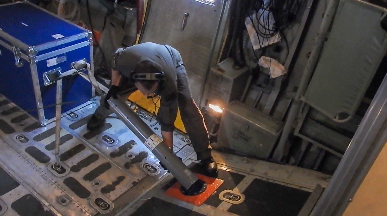
Hurricane Hunters
The WC-130J is a C-130J production variant operated solely by the U.S. Air Force Reserve’s “Hurricane Hunters.” The hurricane reconnaissance area includes the Atlantic Ocean, Caribbean Sea, Gulf of Mexico and eastern and central Pacific Ocean areas. Like the C-130 fire tankers, a palletized system transforms these C-130Js with instrumentation that collects weather data, and is capable of staying aloft almost 18 hours at an optimum cruise speed of more than 300 mph.
Find out more about the U.S. Air Force’s Hurricane Hunters here.