From Arctic Ice Mapping to Wildfire Prediction, Climate Monitoring Saves Lives
Extreme weather events are becoming increasingly prolific. The National Oceanic and Atmospheric Administration (NOAA) has reported record ocean temperatures that have resulted in hurricanes with an increased intensity. Wildfires have devastated areas of land previously not impacted. In the first three months of 2023 alone, California experienced “12 separate atmospheric river events that came back-to-back, resulting in widespread flooding, mudslides and record snowfall amounts in the mountains.”
With that said, it’s clear we need to better detect and predict these events and seek actionable intelligence that helps save lives when severe weather events occur.
Where We Are and Where We’re Going
Meteorologists need to accurately measure and interpret weather observation data, and the climate intelligence industry is moving toward a future where industry can make this data more synthesized and actionable.
“It all starts with the data. And the need for the right data,” said Jagdeep Shergill, director, Geo Weather Satellites, at Lockheed Martin. “We have powerful satellites in orbit, but the focus really is turning the data we gather from them into action.”
Through the use of responsible artificial intelligence (AI) and machine learning (ML) practices, Lockheed Martin is synthesizing very large volumes of data with the potential to generate actionable insights that would otherwise not be available.
Take NOAA’s 4D Earth and Space Observing Digital Twin, for example. Lockheed Martin is partnering with NVIDIA on the prototype, a digital model that ingests, analyzes, and displays data from five Earth system domains:
- Atmosphere
- Ocean
- Cryosphere
- Land and hydrology
- Space weather
The Digital Twin can:
- process live streams of incoming weather data;
- apply artificial intelligence (AI) and machine learning (ML) algorithms to analyze the data;
- and display current global environmental conditions from satellites, ground-based observations and output from weather forecasting models
AI and ML innovations can be leveraged to help solve an array of climate-related queries, from Arctic ice sheet mapping and precision agriculture to sea-level measurements and even wildfires.
“The ability to help first responders, scientists and businesses make more informed decisions about where to focus their limited resources is game changing,” said Dr. Mike Gauthier, senior manager for Climate and Earth Science at Lockheed Martin. “Converting streams of data into actionable intelligence enables us as a global society to better prepare for burgeoning climate challenges.”
Moving Toward Next-Gen Solutions
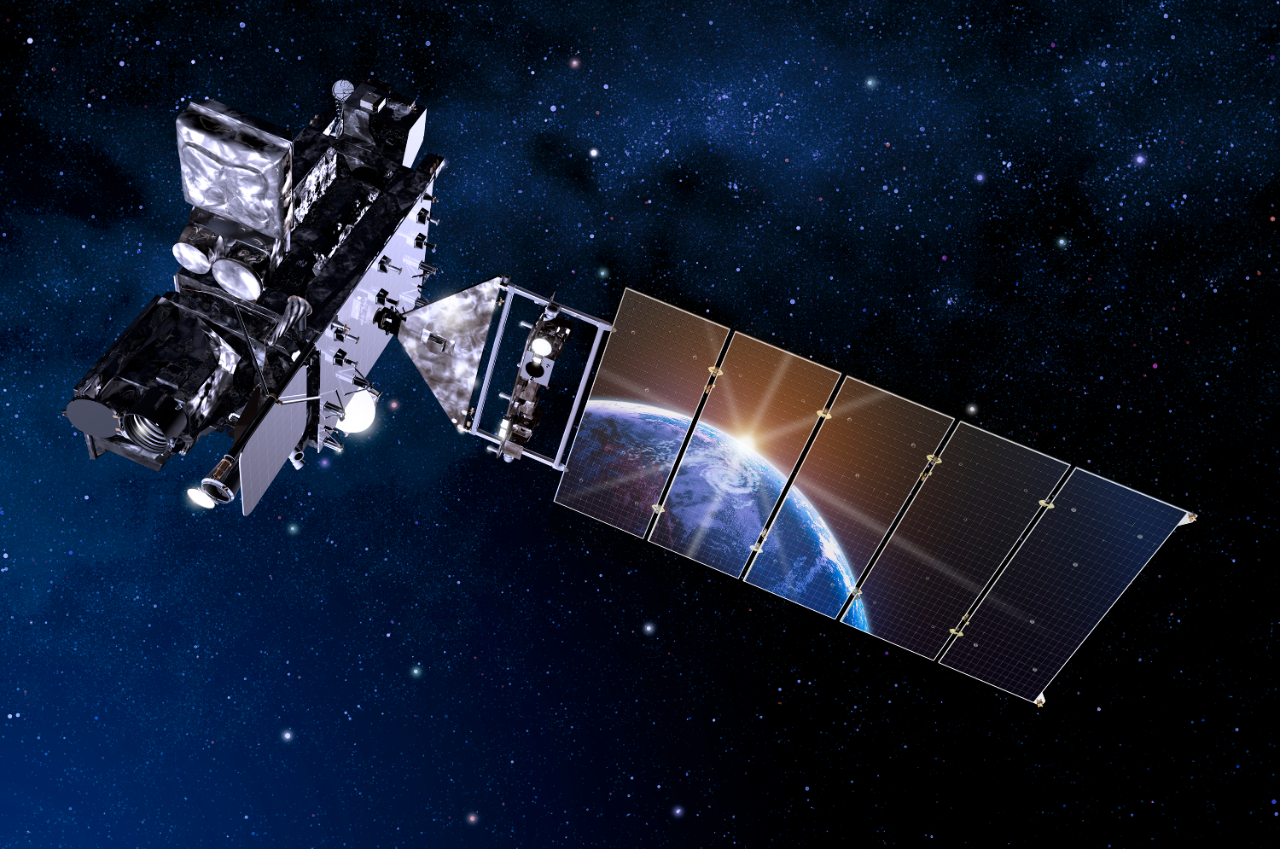
Presently, NOAA’s GOES-R satellite series – designed and built by Lockheed Martin – is a quantum leap forward in observational data. The series has provided forecasters in the U.S. and western hemisphere with sharper, more defined images of severe storms, hurricanes, wildfires and other weather hazards.

The three, soon to be four, weather satellites, utilize instruments, such as the Geostationary Lightning Mapper (GLM) and the Solar Ultraviolet Imager (SUVI) that provide advanced imagery and atmospheric measurements, real-time mapping of lightning activity and persistent monitoring of solar activity and space weather. With the last GOES satellite in the series – GOES-U – scheduled to launch this spring, NOAA is looking at the next-generation of these weather satellites to be even more effective.
After conducting extensive research into future environmental scenarios and societal needs, NOAA identified the need for Geostationary Extended Observations (GeoXO) – the next stage in NOAA’s satellite series – that will focus on Earth-pointing instruments to include hyperspectral sounding, atmospheric composition and ocean color observations. NOAA expects GeoXO will begin operating in the early 2030s as the GOES-R series nears the end of its lifespan.
The Time to Act is Now
The increased intensity of adverse weather events is only predicted to become more extreme, wreaking greater havoc on populations if not prepared. Proactive, rather than reactive, measurements are the key to preparedness, security and resilience.
At Lockheed Martin, we are not only building instruments and spacecraft to enable the collection of high-fidelity datasets, but we also transform that data into actionable intelligence. Working closely with stakeholders, our Climate Intelligence team develops tailored products and services designed to equip end users with the tools necessary to make more informed decisions that optimize their operations and value chains. These tailored solutions will help us all to be Ahead of Ready.


